We left from Lenny's house at 6:30 AM. I-17 to BB road.
9014 South to The Y, thru the gate onto Road 599.
(On this trip we took the time to write down the mileage of the various landmarks as we went, for future reference.)
Road 3164, towards Squaw Creek Ruin? (Not sure of this #)
There's a small ruin on this road, as you approach the main dwelling area. This was probably the "Visitor's Center" for the village, in ancient times.
All visitors please check in here before entering!
Here's a good example of the wall construction in this area; I'm impressed how much effort they put into keeping the side surface of the walls flat. There are also many examples of nice straight right-angled corners, with interlocked blocks.
Onto Squaw Creek Ruins, Hurray!
We took the time to set up the sunshade, to keep us a little cooler while getting organized in the truck hatch area, and while having our lunch snacks. Lenny has experience with sunshades in windy areas, and made sure it was secure.
This was great, we had several hours to wander the ruins, and marvel over the hardiness of people living in this environment.
Ellen found scores of rock drawings we hadn't seen yet, and Lenny found a small arrowhead tip.
Ellen took many pictures, and they're better than mine. Check it out; link to Ellen's pictures.
Ellen pleased with herself, having discovered new Indian art.
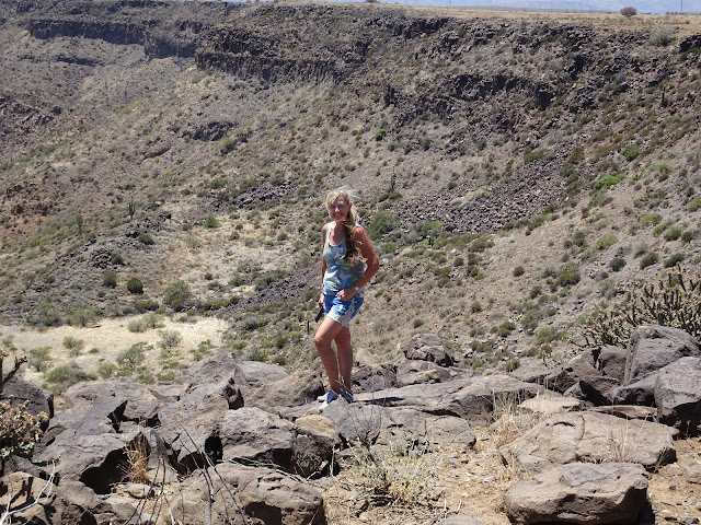
Looking off the cliff, in the upstream part of the ruin.
Rock art, viewed from above.
Looking upstream towards the highest part of the ruin.
Here's where I found the arrowhead chip. I think area was the "artisan shop", there is obsidian all over the place. One rock has what I think is a "mortar and pestle" mark in it. Perhaps for dipping arrowheads in poison made from scorpion stingers? (That costs extra.) I should have moved that stupid rusty can; I'll get it next time. 

This rock is near the clearing where we parked, which would be a logical campsite. Modern people do some pottery collecting, and leave it here. We added a few nice pieces.
Ready to head home, quick selfie.
Proceeding along the loop that heads back to 599, there is another viewpoint/possible campsite.
Uneventful trip home, pretty tired, but we have Memorial Day tomorrow to rest. Another great trip!!


Hey Lenny, it's technically road 610 branching off of 14 through the gate and then 599 branches off from 610. =) And 3164 being the road to SC ruin is correct. Great pics and commentary Lenny!(especially the ones of me!) Love this post. Awesome selfie too, the old fashioned kind where you just point the camera at yourself and hope for the best!Fabulous Memorial Day weekend trip!!
ReplyDelete